Towards Zero Hunger – Hands-on: Spectral Indices for Aquatic Applications
Towards Zero Hunger – Hands-on: Spectral Indices for Aquatic Applications Normalized Difference Chlorophyll Index (NDCI) Using Sentinel-2 DataIn Google Earth…
Towards Zero Hunger – Hands-on: Assess Water Quality using Satellite and In Situ Observations
Towards Zero Hunger – Hands-on: Assess Water Quality using Satellite and In Situ Observations Using Satellite and In Situ ObservationsIn…
Towards Zero Hunger – Hands-on: Active Fire Detection with Sentinel-3 Data
Towards Zero Hunger – Hands-on: Active Fire Detection with Sentinel-3 Datausing the Land Cover Data and Band Maths Toolin SNAP…
Towards Zero Hunger – Hands-on: Monitoring Land Degradation
Towards Zero Hunger – Hands-on: Monitoring Land Degradation with Land Cover Datausing Trends.Earthin QGIS This hands-on tutorial is part of…
Understanding SAOCOM – A Guide to the Argentine L-band SAR Satellite
Welcome to the comprehensive collection of learning materials about the Argentine L-band SAR satellite SAOCOM-1! The SAOCOM-1 satellite is a…
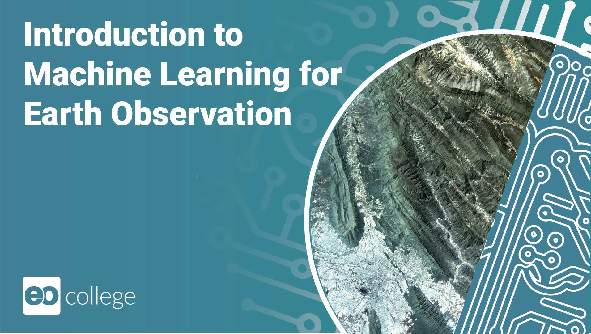
Introduction to Machine Learning for Earth Observation
What is this course about? Throughout this course, you’ll embark on an enlightening journey into the realm of Machine Learning…
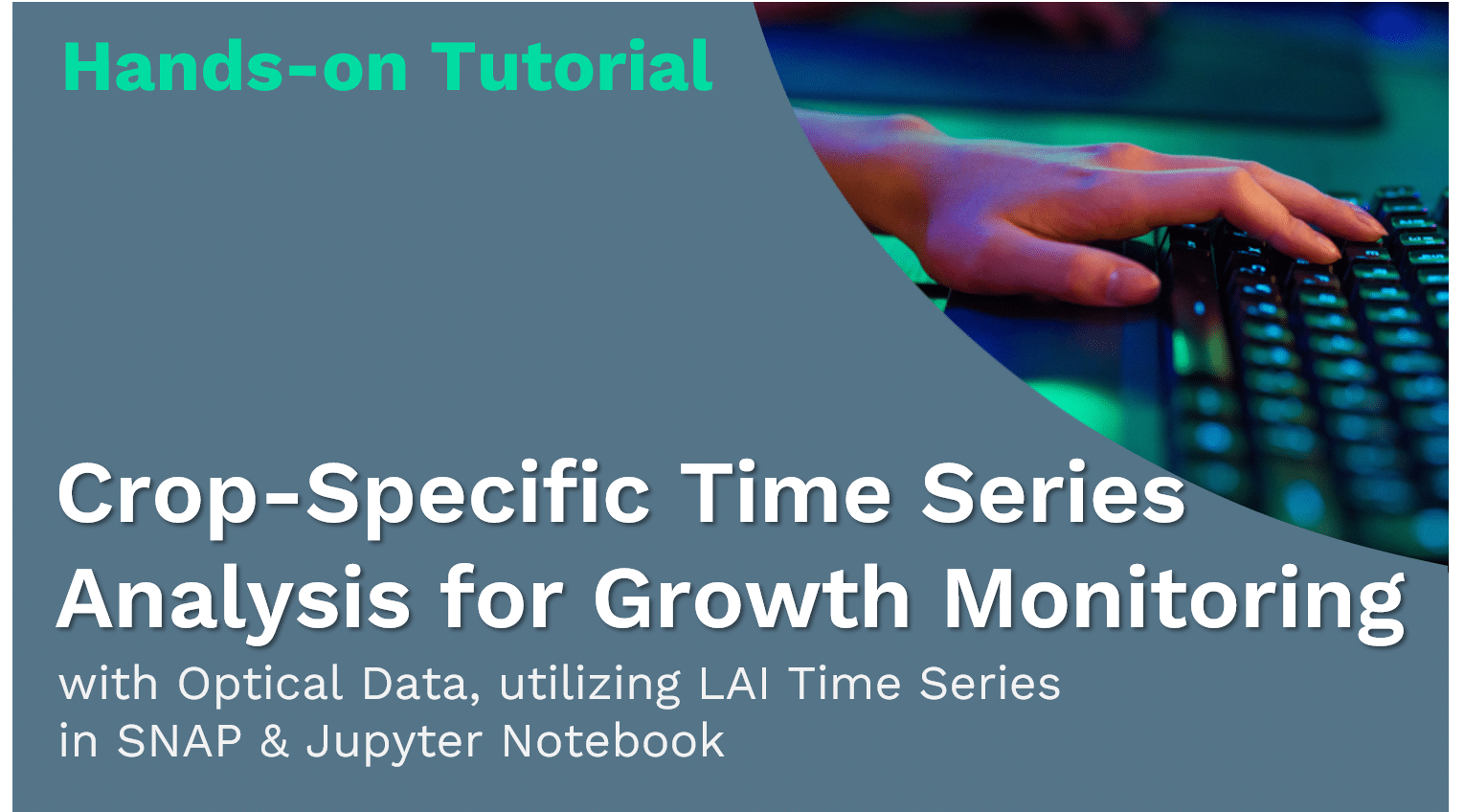
Towards Zero Hunger – Hands-on: Crop-Specific Time Series Analysis for Growth Monitoring
Crop-Specific Time Series Analysis for Growth Monitoring with Optical Datautilizing LAI Time Seriesin SNAP & Jupyter Notebook This hands-on tutorial…
Towards Zero Hunger – Hands-on: Drought Monitoring using Soil Moisture Anomalies
Drought Monitoring using Soil Moisture Anomalies with Copernicus Climate Change Service Datain Jupyter-Notebook This hands-on tutorial is part of a…
Towards Zero Hunger – Water & EO: Fishery and Aquaculture
Welcome to the module ‘Water & EO: Fishery and Aquaculture‘ of Towards Zero Hunger. Here, you can learn about the aquatic…
Towards Zero Hunger – Hands-on: Time Series Analysis of Vegetation Index & Change Detection
Time Series Analysis of Vegetation Index& Change Detection with Optical Datain Google Earth Engine This hands-on tutorial is part of…
Towards Zero Hunger – Hands-on: Land Cover Classification with Optical & Radar Data
Land Cover Classificationwith Optical & Radar Data with Optical Datausing Random Forest Classifierin Google Earth Engine This hands-on tutorial is…
Towards Zero Hunger – Hands-on: Land Cover Classification and Accuracy Assessment
Land Cover Classification& Accuracy Assessment with optical datausing Random Forest Classifierin Google Earth Engine This hands-on tutorial is part of…
Towards Zero Hunger – EO Data, Tools & Techniques
Welcome to the module ‘EO Data, Tools & Techniques‘ of Towards Zero Hunger. Here, you can inform yourself about the EO…
Beyond the Visible – Imaging Spectroscopy for Soil Applications
Watch the official course trailer: Welcome to the Online Course ‘Beyond the Visible – Imaging Spectroscopy for Soil Applications‘. What…
Towards Zero Hunger – Food Security Risks
Welcome to the module ‘Food Security Risks‘ of Towards Zero Hunger. Here, you have the opportunity to explore the factors that…
Beyond the Visible – EnMAP data access and image preprocessing techniques
Watch the official course trailer: Welcome to the Online Course ‘Beyond the Visible – EnMAP data access and image preprocessing…
Cubes & Clouds
Cloud Native Open Data Science for Earth Observation
Towards Zero Hunger – Land & EO
Welcome to the module ‘Land & EO‘ of Towards Zero Hunger. Here, you have the chance to learn about the application of…
Towards Zero Hunger – Agriculture & Livestock
Welcome to the module ‘Agriculture & Livestock‘ of Towards Zero Hunger. Here, you have the chance to learn about the application…
Towards Zero Hunger – Forestry & Agroforestry
Welcome to the module ‘Food Security‘ of Towards Zero Hunger. Here, you have the chance to learn about theoretical basics around food…
12

3.1 Data Processing Copy
Learning Objectives Introduction In this lecture we are going to combine the knowledge and hands-on experience we have gathered so…
2.3 Data Access Copy
Using a cloud provider for accessing data, and in this specific scenario Earth Observation data, could improve your productivity a…
Introduction Copy
This short sections will familiarize you with some free external services that are going to be used throughout the MOOC.…
User Survey Copy
Help us to get to know our audience and to improve the course by taking a short initial survey!
6. Goodbye
Great job – you’ve made it! You’ve learned so much about the SAOCOM Satellite and its applications. You can access…
Processing Steps
It’s time to engage with the data! Below, you can explore the processing steps of the tutorial, download the instruction…
Info-boxes
If you need background information, delve into the info-boxes below to gain valuable insights into the EO data, tools, and…
The Data, Processing Tools and Region of Interest
Let’s start by reviewing the data sets, the processing software or platform, and the region covered in the hands-on tutorial.…
Processing Steps
It’s time to engage with the data! Below, you can explore the processing steps of the tutorial, download the instruction…
Info-boxes
If you need background information, delve into the info-boxes below to gain valuable insights into the EO data, tools, and…
Data Sharing and Conclusion Copy
Introduction We have reached the last chapter of the course. You know about data cubes, cloud platforms and open science.…
Validation of EO Data Copy
What is validation The validation process typically involves comparing a model or a developed Earth Observation (EO) product with reference…
Case Study: Snow Cover in the Alps Copy
Research Question Snow serves as a water reservoir and is thus important for any hydrological management activity, such as irrigation…
Aggregate Copy
An aggregation of a datacube can be thought of as a grouped reduce. That means it consists of two steps:…
Resample Copy
In a resampling processes (e.g. resample_cube_spatial, resample_cube_temporal), the layout of a certain dimension is changed into another layout, most likely also changing the resolution of…
Reduce Copy
The reduce_dimension process collapses a whole dimension of the datacube. It does so by using some sort of reducer, which is a function that calculates…
Apply Copy
The apply* functions (e.g. apply, apply_neighborhood, apply_dimension) employ a process on the datacube that calculates new pixel values for each pixel, based on n other pixels. Please…
Filter Copy
When filtering data (e.g. filter_spatial, filter_temporal, filter_bands), only the data that satisfies a condition is returned. For example, this condition…
Raster Data Loading Copy
In openEO, your process graph will always start loading some data, which can be done mainly using the following processes:…
Properties and metadata used for filtering Copy
In the previous lesson, we learned where to find data. Now it is time to look at how we can…
What are data properties and metadata? Copy
Data properties and metadata are sets of characteristics of geospatial data that serve different purposes. Commonly data properties are seen…
Data Sources Copy
Where to search for data Earth observation data access is not limited to a single platform or a single entry…
The STAC Data Catalog Copy
The components of STAC The STAC specification is divided into three main parts: All these components are fairly independent, but…
EO Catalog protocols Copy
For Earth observation data discovery, it is essential to know about various used catalog protocols that define standardized methods and…
Geospatial Data Copy
Knowledge of various geospatial data types is essential for understanding, representing, and analyzing acquired data from various domains. Data carry…
The Open Science Journey – Open Science in geospatial, EO and EO cloud platforms Copy
Finally let’s see how open science principles are applied in the field of geospatial, earth observation and EO cloud platforms.…
What is Open Source? Copy
Open Source does not simply mean that the source code of a project is available, which is only one element…
What is Open Data? Copy
Open data is data that anyone can access, use and share. Open data becomes usable when made available in a common,…
Quiz – Result Validation Copy
You will have to reach a score of 75 % to continue the to next lesson!
Quiz – Data Processing Copy
You will have to reach a score of 75 % to continue the to next lesson!
Quiz – Data Access Copy
You will have to reach a score of 75 % to continue the to next lesson!
Quiz – Data Properties Copy
You will have to reach a score of 75 % to continue the to next lesson!
Quiz – Data Discovery Copy
Let’s test your understanding of data types and where to find them. We will be working with the actual data…
Quiz – Open Science in geospatial, EO and EO cloud platforms Copy
You will have to reach a score of 75 % to continue the to next lesson!
Quiz – Open Data and Open Source Copy
You will have to reach a score of 75 % to continue the to next lesson!
Quiz – Open Science and FAIR Copy
Let’s test your theoretical knowledge on open science now. It’s important that you understand these concepts. We will apply them…
Quiz – What is a Data Cube? Copy
You will have to reach a score of 75 % to continue the to next lesson!
Quiz – What is a Platform? Copy
You will have to reach a score of 75 % to continue to the next lesson!
Already have an account? Log In


Welcome,
Tobias Burger
to eo-college.org
80%
Complete
80%
Complete
Base
3/4
Profile Photo
1/1
Pick up where you left off
40%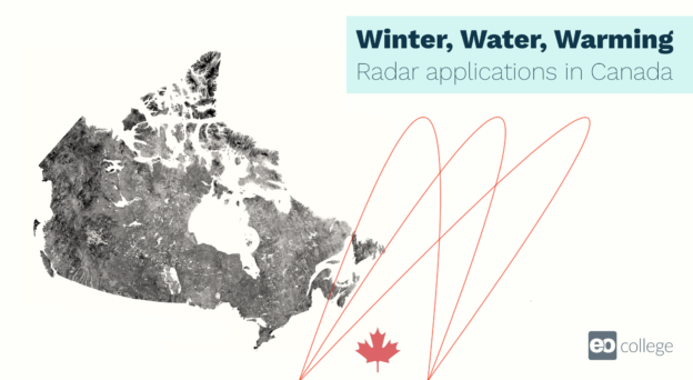
Winter-Water-Warming: Canadian SAR Applications
SAR Research and Operational Use at Agriculture and Agri-Food Canada
Space-based Earth Observation is one of the few reliable methods to get detailed information describing the changing state of Canada’s agricultural landscapes from coast to coast. Dr. Andrew Davidson familiarizes you with how the federal department of Agriculture and Agri-Food Canada (AAFC) uses SAR data operationally to monitor Canada’s vast agricultural landscapes and provide an annual inventory of major crops. The following video introduces you to various lesson components and the Earth observation operations at AAFC. Agriculture and Earth Observation (EO) Did you know that AAFC has taken advantage of recent advances in EO data acquired by a multitude of…
Continue Course
0%
Towards Zero Hunger – Food Security
Food and climate, environment, society, and economy
As you learned in the first topic, food systems are complex. They include the production of food from agriculture, forestry, and fisheries, the aggregation of food, and its processing, distribution, consumption, and disposal. With all of these components, food systems depend on natural resources and the socio-economic environment just as much as they can impact them. It is therefore worth taking a closer look at the different interlinkages. Food, climate & environment Let’s take a closer look at the linkages between food, climate, and the environment with the video from Prof. Dr. Andy Nelson. How do we use our resources?…
Continue Course
46%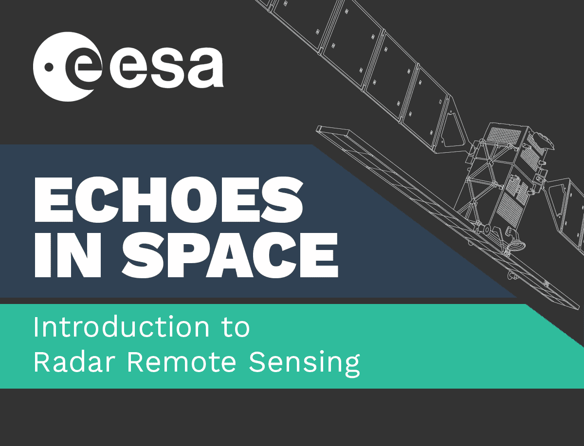
Echoes in space
floods
Continue Course
LOGIN
SIGN UP HERE