DEM generation with MATLAB
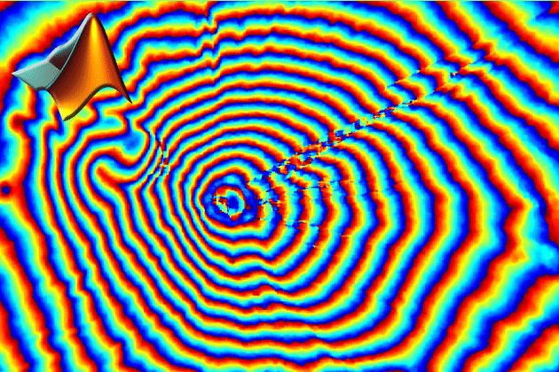
SAR interferometry is widely used for the generation of digital elevation models (DEM). The topographic information is derived by exploiting the phase differences of coherent radar signal from 2 complex-valued SAR images, which are acquired from slightly different orbit positions. After focusing raw SAR data, three essential steps are the main components of the standard InSAR processing:
- Co-Registration of two complex images
- Interferogram generation and coherence estimation
- Phase unwrapping
In this tutorial the processing is conducted with the numeric computation language MATLAB. All data and instruction is included in the downloadable ZIP-File.
Where is the resources,this link seems error.