Large-scale EO data handling
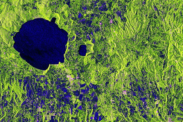
In these tutorials, you learn how to handle large-scale datasets in the Julia language using the EarthDataLab.jl package and how to map deforestations with the…
In these tutorials, you learn how to handle large-scale datasets in the Julia language using the EarthDataLab.jl package and how to map deforestations with the…
The gross exchange of carbon between the land surface and the atmosphere is the largest flux within the global carbon cycle. Biomass at the Earth’s…
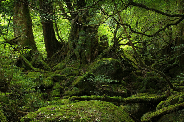
Biomass is a crucial parameter in the estimation and quantification of the global carbon cycle. In this lesson the estimation of above ground biomass from…
This presentation tells the story of the evolution of Radar technology from the early days of research on electromagnetic waves to the development of the…
This is an introduction into the classification of land cover and land use from Earth observation data. The presentation includes: The material is valid for…
Esta presentación es parte de una serie de cuatro tomos sobre los conceptos básicos del Radar de Apertura Sintética. Al finalizar esta presentación los participantes…
This presentation is part of a four-part series on the basics on Synthetic Aperture Radar. Learning Objectives: Brief introduction to polarimetry and familiarize students with…
Esta presentación es parte de una serie de cuatro tomos sobre los conceptos básicos del Radar de Apertura Sintética. El objetivo es darles una introducción…
This presentation is part of a four-part series on the basics on Synthetic Aperture Radar. Learning Objectives: Brief introduction to polarimetry and familiarize students with…

Esta presentación es parte de una serie de cuatro tomos sobre los conceptos básicos del Radar de Apertura Sintética. Al finalizar esta presentación los participantes…
This presentation is part of a four-part series on the basics on Synthetic Aperture Radar. By the end of this presentation, you will be able…
Esta presentación es parte de una serie de cuatro tomos sobre los conceptos básicos del Radar de Apertura Sintética. Al finalizar esta presentación los participantes…

This presentation is part of a four-part series on the basics on Synthetic Aperture Radar. Learning Objectives: Understand Sentinel Data Perform image preprocessing Analyze SAR…
The SAR Handbook: Comprehensive Methodologies for Forest Monitoring and Biomass Estimation is the culmination of a two-year collaboration between NASA SERVIR and SilvaCarbon. Five trainings,…
What is SNAP? ESA’s Sentinel Application Platform (SNAP) is a set of toolboxes, developed for the processing and analysis of Earth observation data. This software…
This is an interactive Python tutorial including a Jupyter Notebook. In this tutorial you will learn how to process and analyse tomographic SAR data.
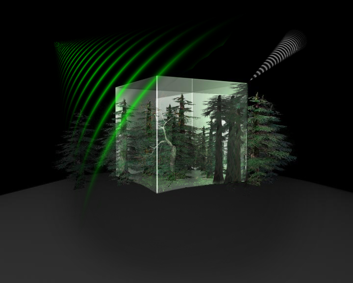
The module SAR Tomography introduces the advanced technique of combining multiple radar images from several viewing angles into a new dimension of information. Although tomogoraphic…
In this lesson the importance of urban footprint mapping is explained, while various SAR features relevant for mapping these urban footprints are given. Moreover, you…
Advanced knowledge about the importance of urban area mapping and the relevant characteristics of urban areas in SAR data are given in this lesson. Moreover,…
This module will show the importance of extracting certain urban objects, such as buildings, trees or roads. Moreover, the potential of SAR data for urban…

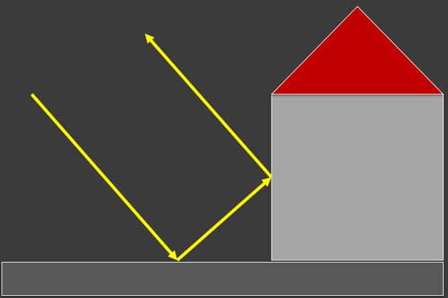
Urban areas are of significant importance to mankind and our environment. This introduction lesson gives an insight on the characteristics of urban areas and their…
In this lesson the importance of urban DSM mapping is going to be explained. Therefore, relevant SAR features for the generation of these urban DSMs…

Synergy between different sensor systems bares the potential for a more holistic analysis for (urban) environments. Advantages and drawbacks of optical remote sensing data and…
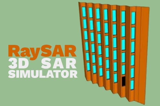
RaySAR is a 3D synthetic aperture radar (SAR) simulator which enables to generate SAR image layers related to detailed 3D object models. Moreover, it enables…
Please confirm you want to block this member.
You will no longer be able to:
Please allow a few minutes for this process to complete.