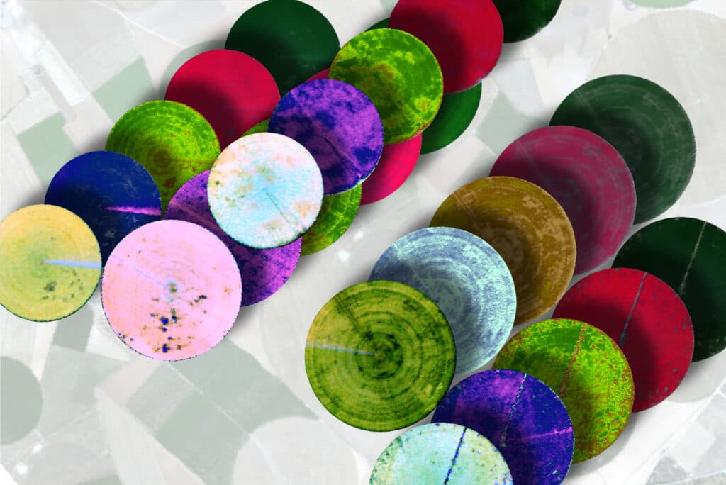
Beyond the Visible – Imaging Spectroscopy for Soil Applications
This resource provides a comprehensive introduction to the application of imaging spectroscopy in a soil context. Besides giving a good overview on the fundamentals of…
This resource provides a comprehensive introduction to the application of imaging spectroscopy in a soil context. Besides giving a good overview on the fundamentals of…
This resource provides a general introduction to the principles of hyperspectral image preprocessing and how this workflow is reflected in EnMAP products. Furthermore, the course…
This unit introduces the topic water optics and water colour remote sensing. We start with an introduction on the importance of remote sensing for aquatic…
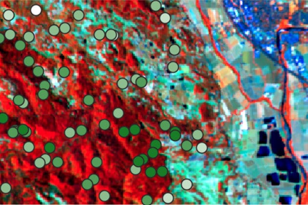
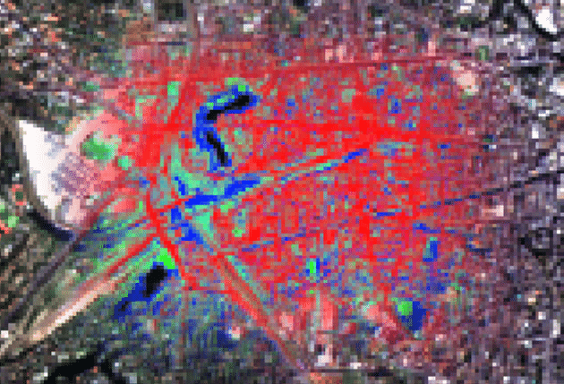
This unit presents the capabilities of imaging spectroscopy (IS) for urban mapping. A brief introduction to urban mapping is followed by the basics of IS…
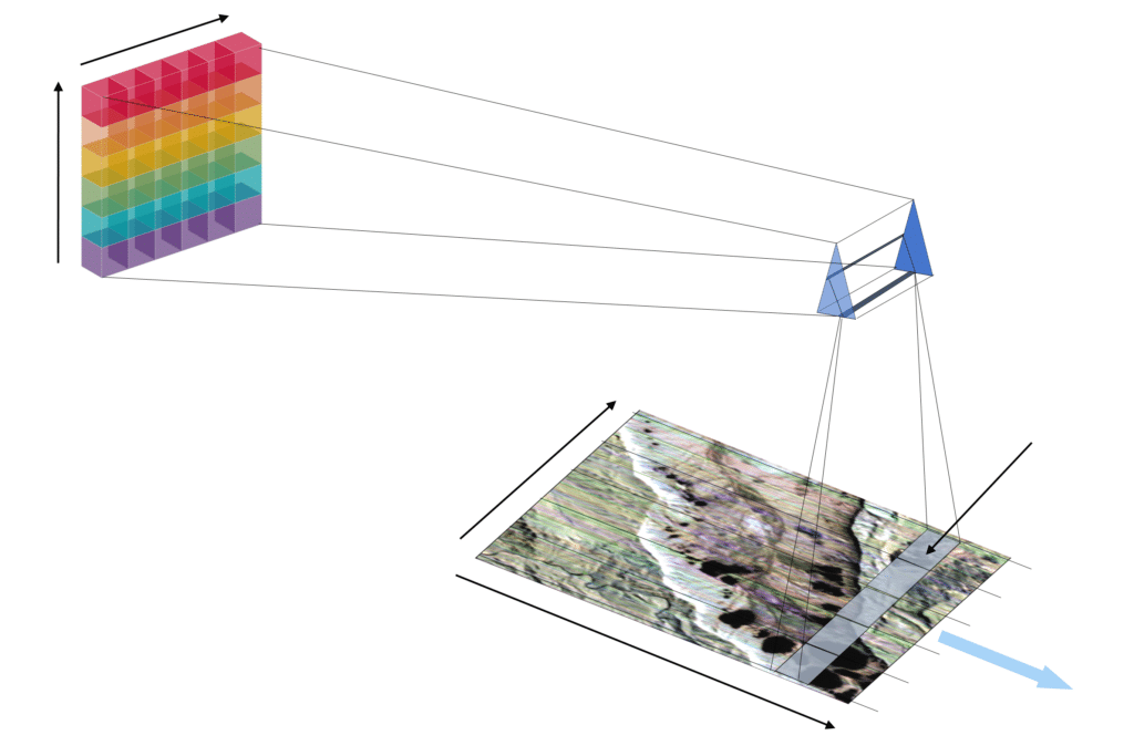
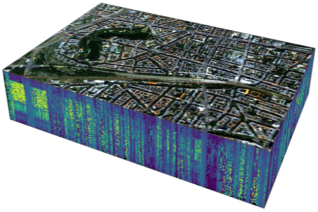
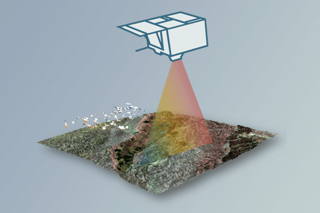
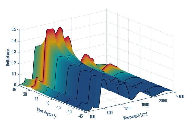
This unit is one of the basic lectures provided by HYPERedu and introduces the physical basics and scientific requirements defining sensor technology, the principles of…
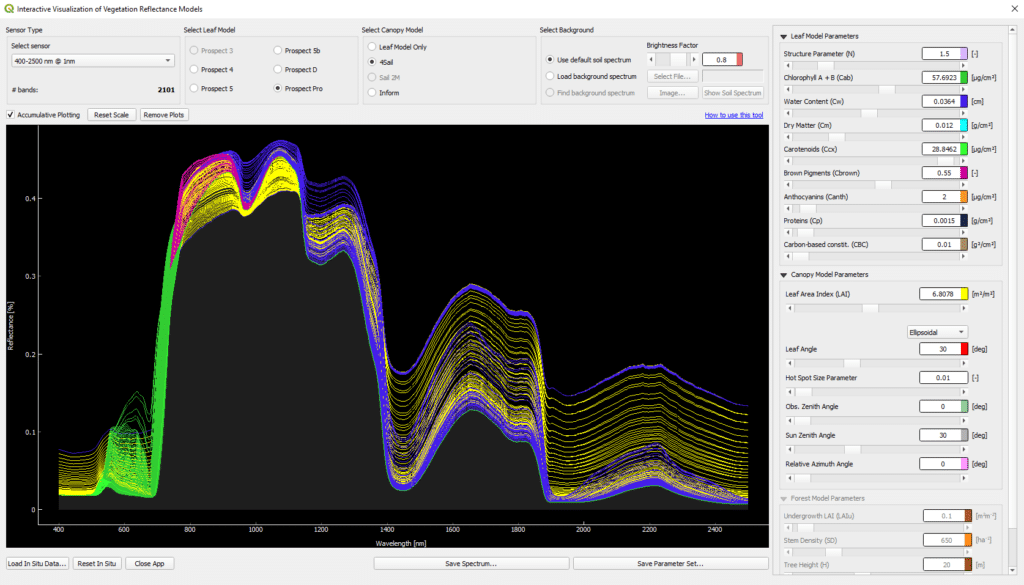
This tutorial introduces the Interactive Visualization of Vegetation Reflectance Models (IVVRM) tool, which is an interactive reflectance modeling setting, focusing on the PROSPECT + SAIL…
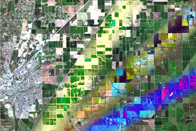
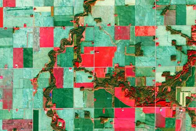
This unit gives an overview on agriculture-related hyperspectral satellite data usage. The challenges a growing world population faces in regard to agriculture and the provisioning…
This unit is one of the basic lectures offered by HYPERedu and introduces the theoretical process chain of sensor forward simulation. In particular, the individual…
This unit introduces the basics of Forest Imaging Spectroscopy. Firstly, the spectral characteristics of vegetation on leaf and canopy level are shown and explained using…
This unit focusses on quantification regression analysis and RTMs. A short introduction to the radiance regime of vegetation is followed by an overview on retrieval…
This tutorial focusses on the possibilities to map forest Aboveground Biomass (AGB) from simulated EnMAP imagery. Practical hands-on training for working with the EnMAP-Box, including…
This unit introduces dimensionality reduction methods related to hyperspectral data or imaging spectroscopy. Following an overview of feature engineering methods that use selected parametric and…
This tutorial focuses on regression-based unmixing of urban land cover from simulated EnMAP imagery. The slide collection provides the theoretical foundation for the tutorial, including…
The EnMAP-Box is a free and open-source plug-in for QGIS. It is designed to process imaging spectroscopy data and is particularly developed to handle data…
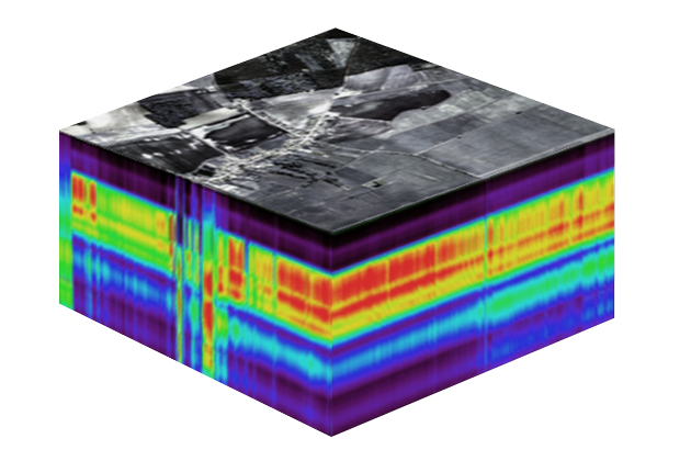
This unit introduces the physical background related to imaging spectroscopy. The basic laws of electromagnetic radiation are addressed. Based on that, processes of radiation transfer…
This is an introduction into the classification of land cover and land use from Earth observation data. The presentation includes: The material is valid for…
Please confirm you want to block this member.
You will no longer be able to:
Please allow a few minutes for this process to complete.