Courses
New Courses
Coming Soon
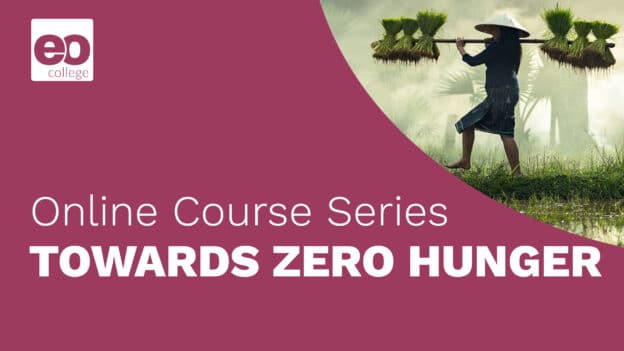
Towards Zero Hunger
Radar Remote Sensing
Land in Focus
Hyperspectral Remote Sensing
Hands-on Tutorials
Other EO Courses
Do you want to learn more? Here you find other free online courses related to Earth Observation:

Monitoring Climate From Space
Explore our planet from space and learn how Earth observation is used to monitor climate change.
Visit Course
EO from Space: The Optical View
Discover how optical Earth observation data is gathered and used in this free course from ESA.
Visit Course
EO from Space: The Atmosphere
Discover the role of satellite EO technology in monitoring the Earth’s Atmosphere.
Visit Course
![]()
Understanding Climate Change using Satellite Data
Learn how to analyse satellite climate data to help measure and mitigate climate change.
Visit Course
Disruptive Technology and New Space
A look at the future technology and innovations in Earth Observation.
Visit Course
![]()
Drought Assessment and Monitoring from Space
How can Droughts be quantified, assessed and monitored from space.
Visit Course
EO from Space: The Cryosphere
Explore the Cryosphere from Space in this free MOOC from ESA.
Visit Course
Greenland: The Frozen Frontier
Learn how the Greenland ice sheet is monitored from space and the ground. lkvfjnxfvkb jdvfnxkjvfbjdlfv
Visit Course
Space for International Development Assistance
This ‘MOOC’ looks at the benefits of Earth Observation for International Development Assistance.
Visit Course